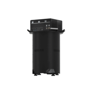

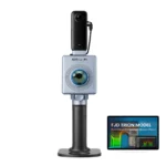
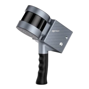
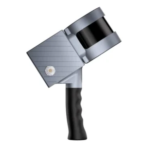
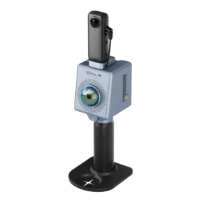
FJD Trion P1 3D Handheld LiDAR Scanner
Call for price
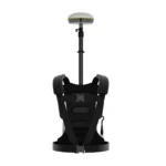
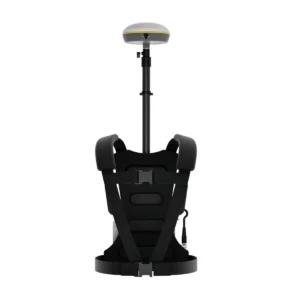
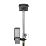
FJD Trion Backpack with V1t RTK Rover for Scanners
Call for price
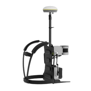
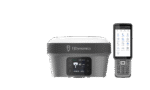
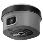
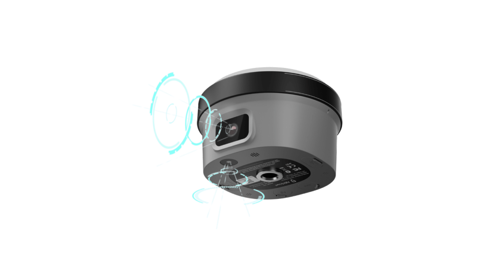
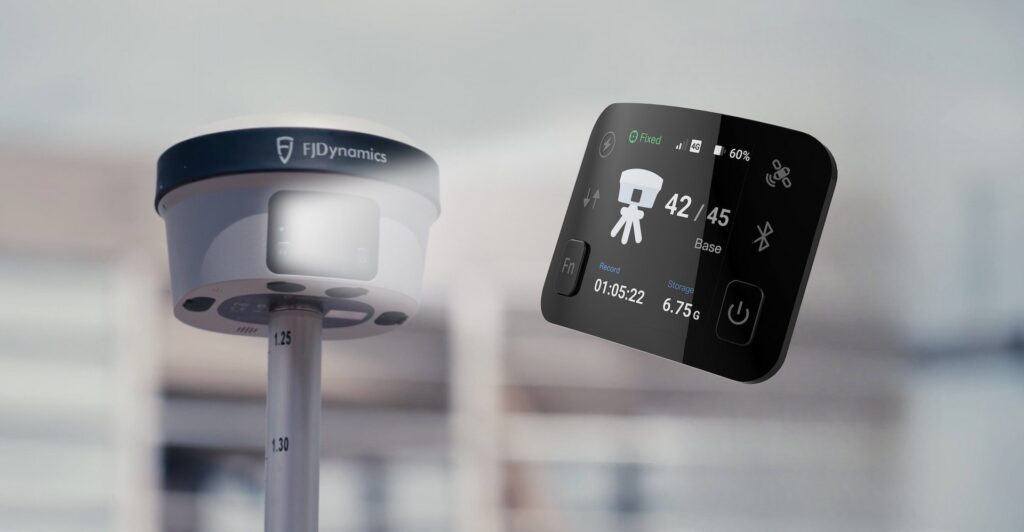
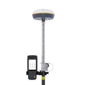
FJD Trion V10i RTK GNSS Receiver with Visual Positioning System
Call for price
Grab the V10i RTK GNSS Receiver with visual positioning system and get measuring. Integrating an OLED screen, IMU, and two cameras, the V10i gives us a next-level productivity boost. The AR Stakeout gives you real-time visual guidance on stakeouts. The Visual Measure achieves the measurement of hard-to-access locations. An OLED screen will bring a new interactive experience for Surveyors.


Related products
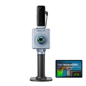
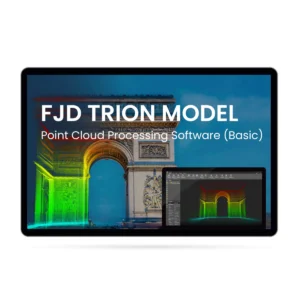
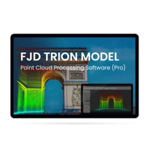
FJD Trion Model Point Cloud Processing Activation License
Experience easy point cloud data manipulation and analysis with FJD Trion Model, featuring a user-friendly interface and advanced algorithms. The software provides an all-in-one solution with integrated modules for forestry, drawing, and robot mapping, streamlining the data import and analysis process. Choose FJD Trion Model for versatile, efficient, and high-level integration point cloud processing.
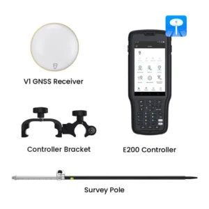
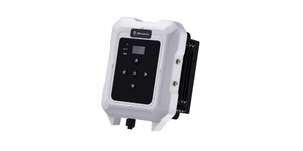
V1t GNSS RTK Rover
CM - Level Accuracy: It ensures accurate measurement data for each location. You can maximize your productivity and reduce errors in your work.
IMU Module: Provides tilt measurement and supports max tilt angle 60 degrees.
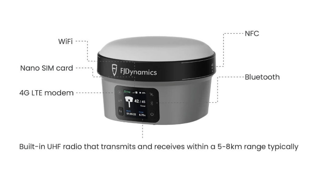
Stable Multi-constellation Coverage: With compatibility to multiple GNSS constellations,GPS, GLONASS, Galileo, Beidou, QZSS, SBAS, IRNSS, L-band. 965 channels.
Lightweight & Durable: IP67. It can endure tough weather elements, providing you with dependable performance in any fieldwork situation and easy to carry around all day.
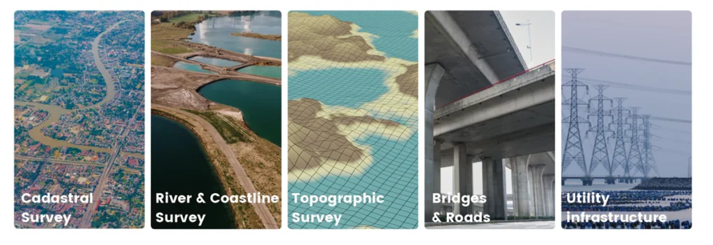
Versatile Applications: The RTK Rover can be easily deployed for various mapping projects like topographic surveys, cadastral mapping, 3D modeling, and Geographic Information System (GIS) data collection, among others, thanks to its adaptability and precision.
Long-lasting Battery Life: Rover mode can be up to 15hrs. Its long battery life ensures that you can complete your work without having to worry about frequent recharging, minimizing downtime during critical projects.
Multi Work Mode: Support radio, Ntrip multiple ways to get RTK signal.