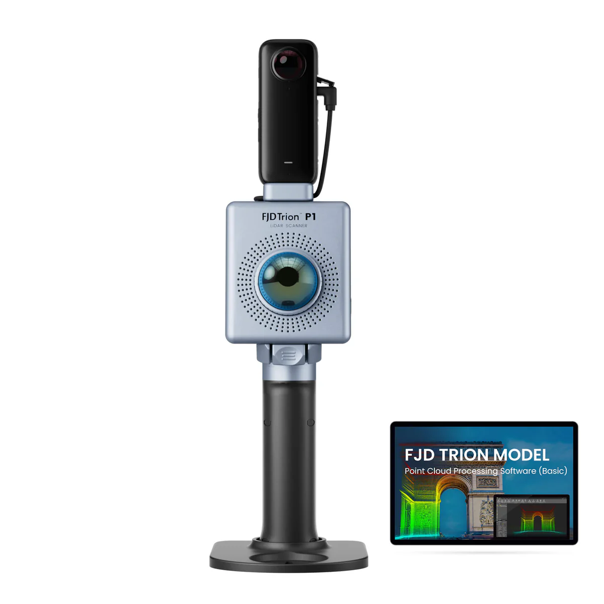
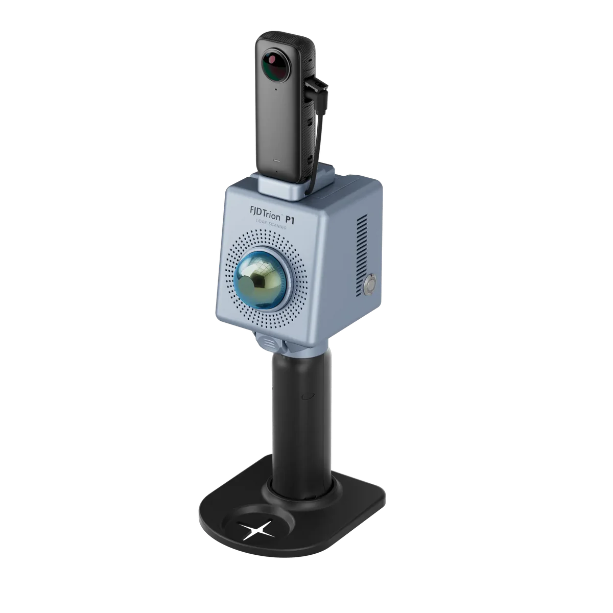
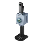
FJD Trion P1 LiDAR 3D Scanner, New Dimensions Unfold
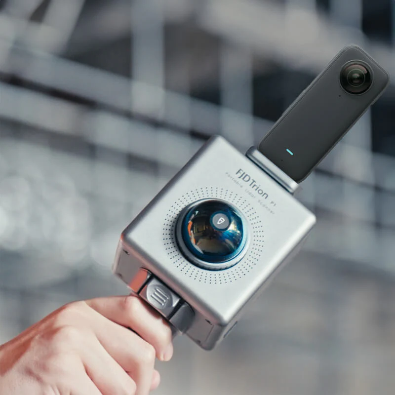
SLAM-empowered lightweight handheld laser scanner for easy reality capture. Scan environments as you walk and create 3D models, floor plans and BIM. With an internal grip battery, it allows for a more balanced weight distribution, which not only enhances the overall using experience but also conforms to ergonomic principles.
Q1: What is the scanning range & accuracy of P1 LiDAR 3D Scanner?
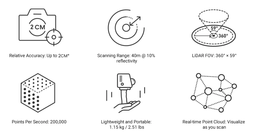
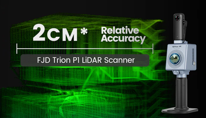
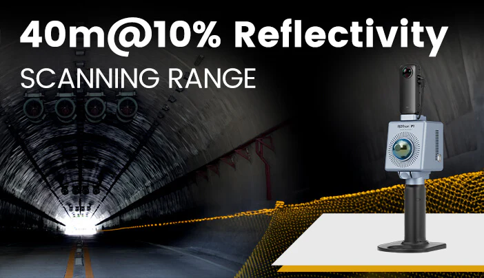
A1: Up to 2mm relative accuracy at a scanning distance of 1m to 40m. Data may be compromised with farther scans, and it is recommended that the scanner is at least 1m away from any object during a scan. It is 40m @10% reflectivity, 70m @80% reflectivity.
Q2: What software should be used to process the data collected by FJD Trion P1?
A2: The FJD Trion P1 generates universal point cloud formats like .las, .pcd, .pts, and .ply, and the data can be directly viewed and processed in by FJD Trion Model point cloud processing software. The .fjdslam format is used for post-processing through FJD Trion Model.
Q3: What scenarios is P1 Portable 3D Laser Scanner designed for? Does it work underground?
A3: The P1 with a competitive LiDAR scanner price works well in feature-rich environments like most LiDAR scanners. For example, floor plans or 3D models for real estate/property assessment, disaster preparedness & recovery, forensic documentation, AEC, game design, urban planning/urban forestry and vegetation management, and robotics deployment. The P1 LiDAR 3D Scanner is designed for applications where speed and efficiency outweigh the level of accuracy required. In spaces where is no reference at all, and the features repeat, the P1 may not work as well due to the nature of LiDAR sensors.
Q4: Does P1 Portable 3D Laser Scanner support real-time processing? Can point clouds be processed in real time without a data logger?
A4: Yes, scans can be viewed in real-time in FJD Trion Scan. The P1 with a competitive LiDAR scanner price stores and processes the data without the need of an external data logger.
Q5: How long does it take to download and process data captured by the P1?
A5: The P1 LiDAR 3D Scanner takes about one third (1/3) of the scanning time to extract and process point cloud data. For example, a 15-minute scan will take about 5 minutes to process.
Easy Reality Capture
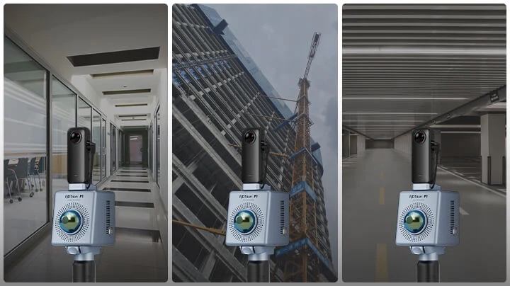
Indoor, Outdoor, Underground, all Day Long
Compact Yet Mighty
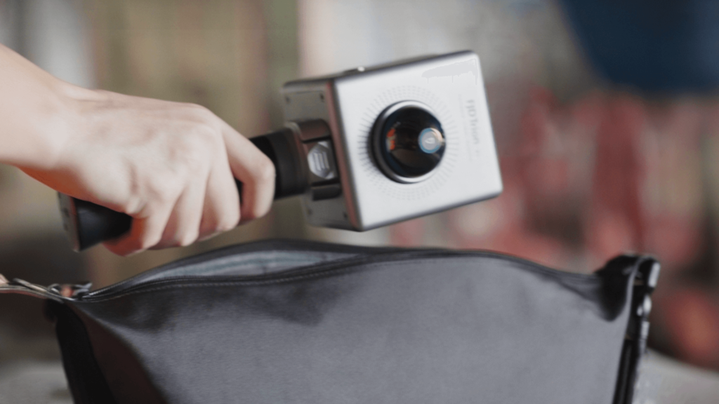
Reliable Accuracy
Incredible Range
Your Point Clouds Studio
FJD Trion Scan
Real-time point cloud visualization software
• Displays the scanned project files, storage capacity, and battery life
• Visualizes the point cloud in real-time
• Tracks real-time path
• Manages and downloads the project files
FJD Trion Model
Point Cloud Post-Process Software
• Denoises and colorizes point clouds
• Stitches point clouds, maps shadow, transforms coordinates, and does automatic plane fitting
• Classifies point clouds, produces 2D drawings, and builds 3D models
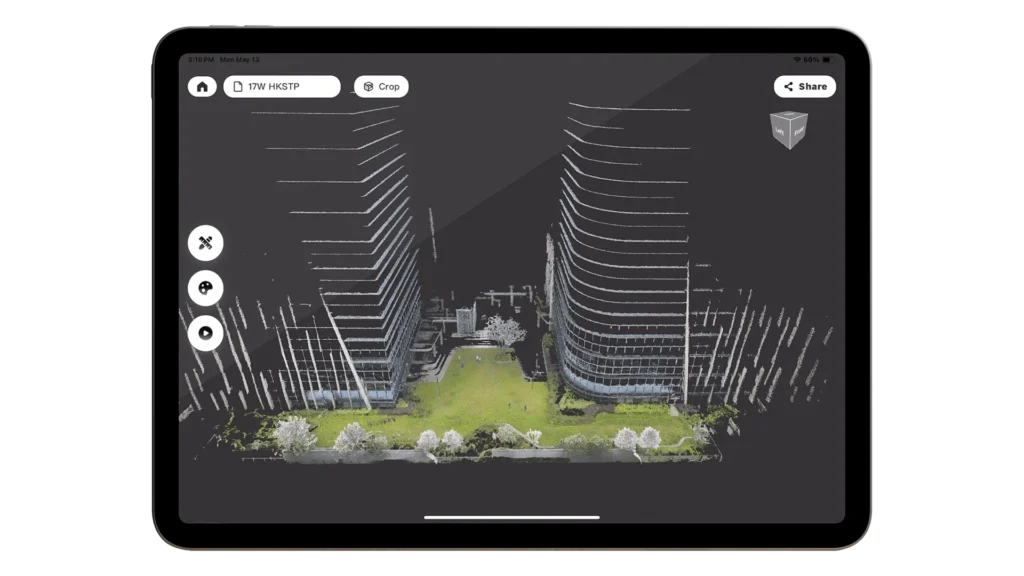
Trion Model iPadOS
Recommended system requirements for FJD Trion Model App
• Language: English, Chinese, Traditional Chinese, Japanese, Korean, Spanish, Russian, Italian, German, French
• Operating System: iPadOS 15 and above
Simply Upload to Cloud
Faster Sharing after Post-processing
• Share and publish point cloud data, fly-through videos, and rendering videos on social media to enhance brand exposure and boost sales.
Submit Info for Personalized Sales Support
Rebuild What You See
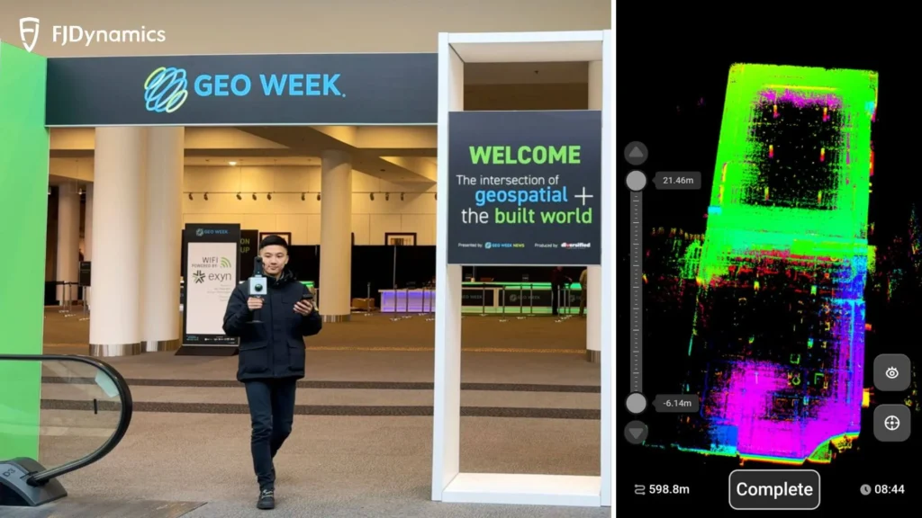
Walk and scan with the P1 3D room scanner, while viewing the real-time point cloud data on your mobile device via Trion Scan. Check for data completeness and note the loop closure numbers to ensure enough data is captured for proper post-processing.

The P1 produces universal point cloud data formats in las, pcd, pts, ply. Download and import the field data into Trion Model or a compatible third party software to classify, register, and calculate point cloud data for your specific application. 3D LiDAR scanning to post-processing time ratio is about 3:1.

FJD Trion P1 Portable 3D Laser Scanner generates deliverables such as contour maps, distance, area, and volume calculations, floor plans, tree and forest analyses, and 3D models like BIM, DEM, and 3D mesh.
Save time and labor on fieldwork with P1 3D LiDAR scanning. Eliminate rework and errors that come with manual measurements. Keep your teams focused on the most valuable tasks, and offer new services and deliverables to your clients to grow your business.

Application Scenarios
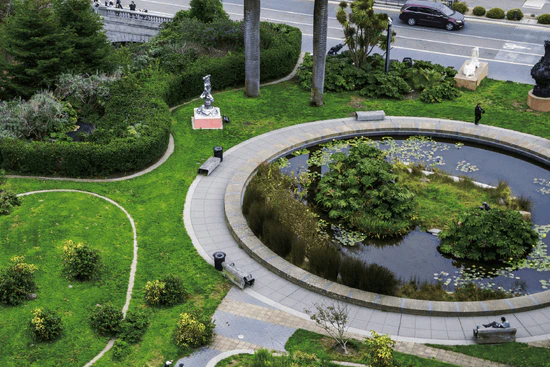
Forestry and Vegetation Analysis

Public Safety

Architecture, Engineering and Construction

Property Management

Media and Entertainment
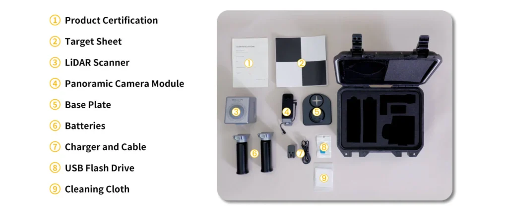
What’s in the Packing Box?
Product Guides
1. Product Brochure
2.Quick View of Scanning Process
Data Support
1. Builds Your Reality As You Scan
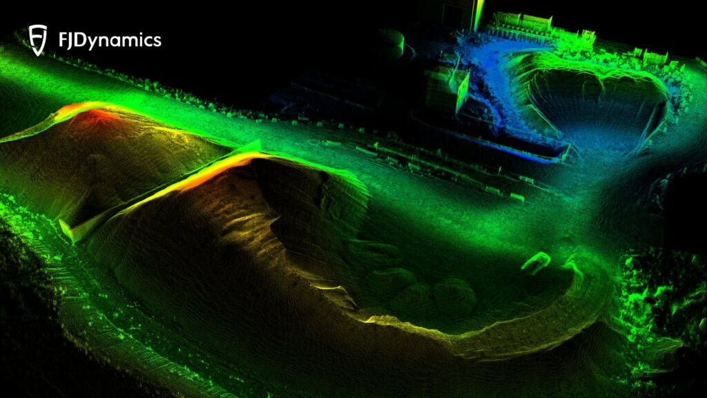
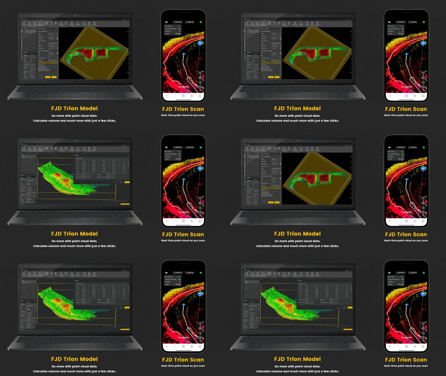
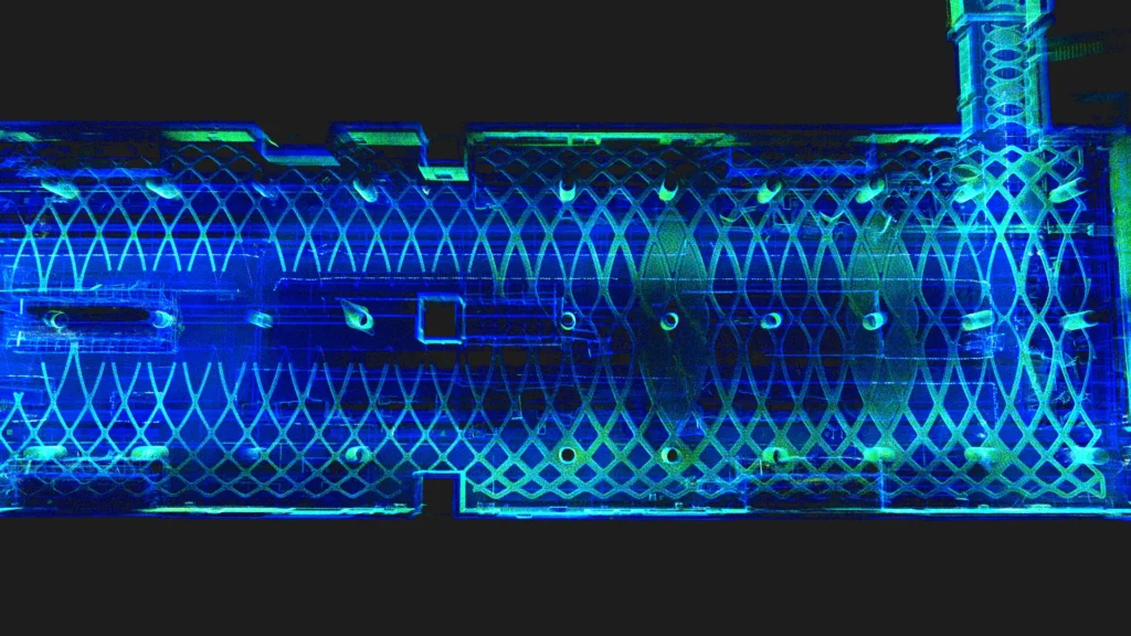
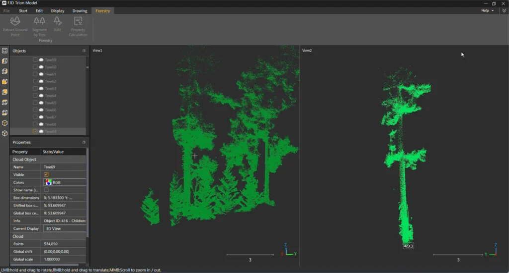
2. Point Cloud Samples

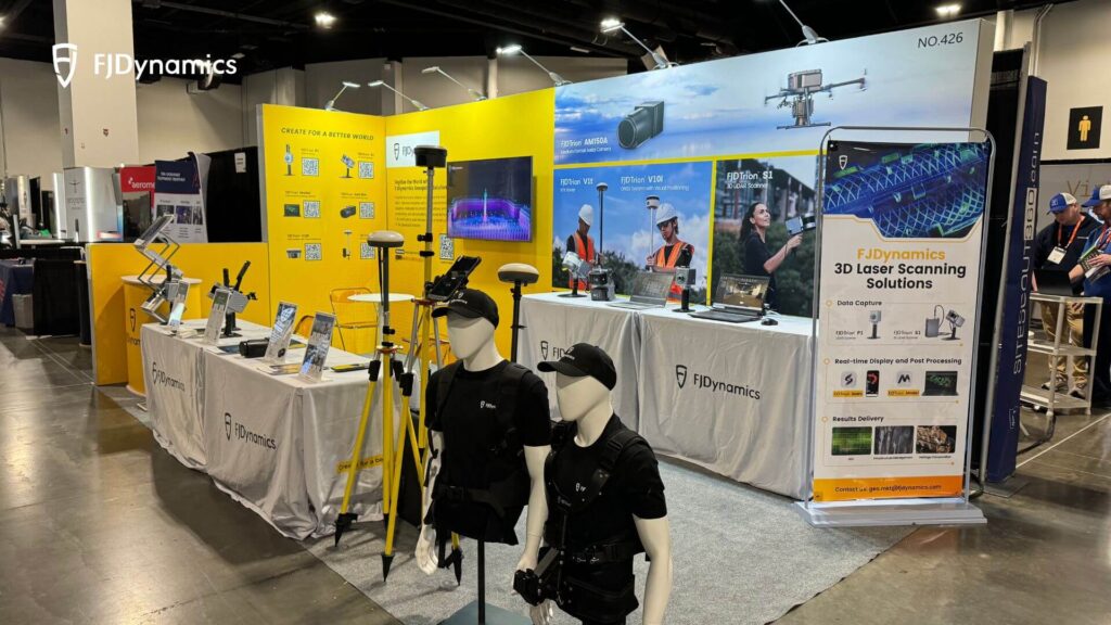
3. Geo Week 2024 Review

News & Blog
Specs
|
Item |
Trion P1 |
|---|---|
|
Weight |
1.05 kg |
| Scanning Range | 40m@10% reflectivity |
| canning Point Frequency | 200,000 points/second |
| Dimensions | 160 × 120 × 270 mm (excluding camera) |
| Camera Resolution | 5760 × 2880 @ 30 fps |
| Camera Field of View (FOV) | 180° |
| Processing/Display | Real-time |
| Protection Class | IP54 |
| Number of Laser Heads | 1 |
| Laser Class | Eye-safety Class I |
| Relative Accuracy | Up to 2cm |
| Storage Capacity | 512 GB |
| Operating Temperature | -10℃ ~ 45℃ |
| Battery Life | 2H (grip battery, room temperature) |
Our Service


